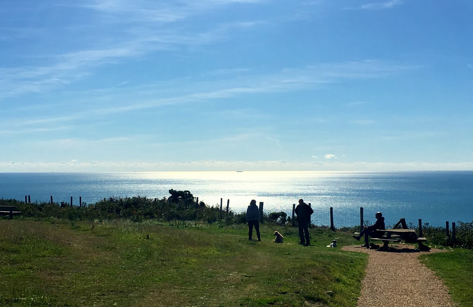
September can give us some dazzlingly beautiful days. We are currently enjoying a spell of lovely weather. The other day, Philosopher and I went up to the Hastings Country Park. It lifted our hearts… and led us to reflect on Fairlight Head’s role in the development of mapping.
Philosopher said he felt like bounding away across the grass like so many of the dogs we saw rushing around and enjoying themselves. He also took some long distance views with his camera at maximum zoom.
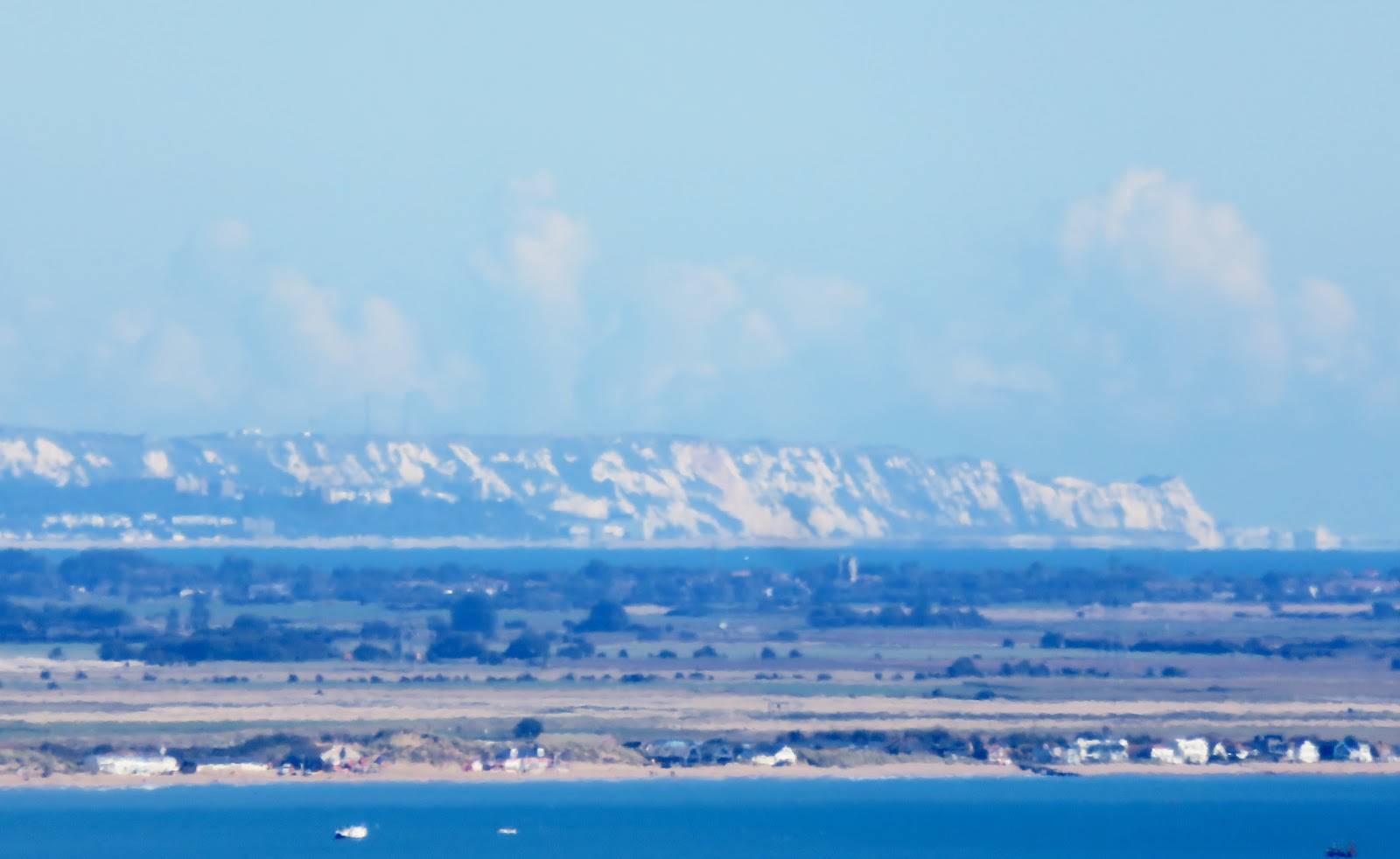
Here are the White Cliffs of Dover, 34 miles away.
And here, the coast of France, 43 miles away. I’m not sure where we are looking at, but it is near Boulogne. You can make out buildings along the shoreline.
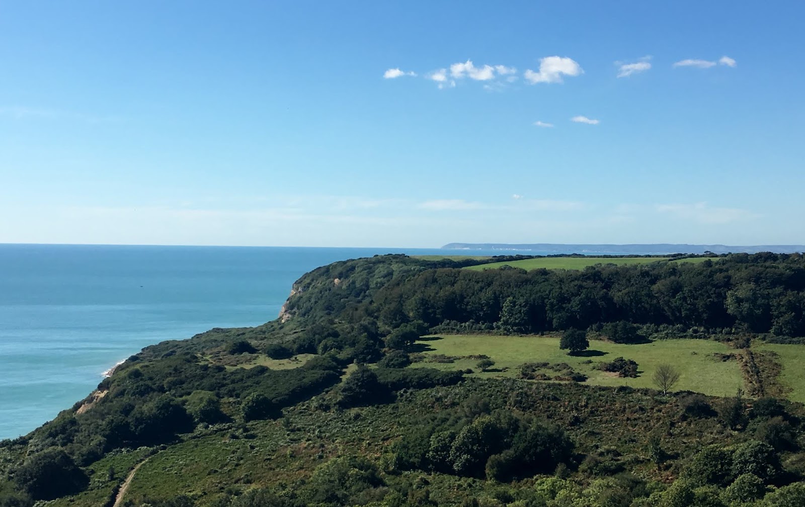
Beachy Head, a mere 20 miles in the other direction, and taken with my iphone camera.
Finally, across to the North Downs, about 30 miles away, again taken with my iphone
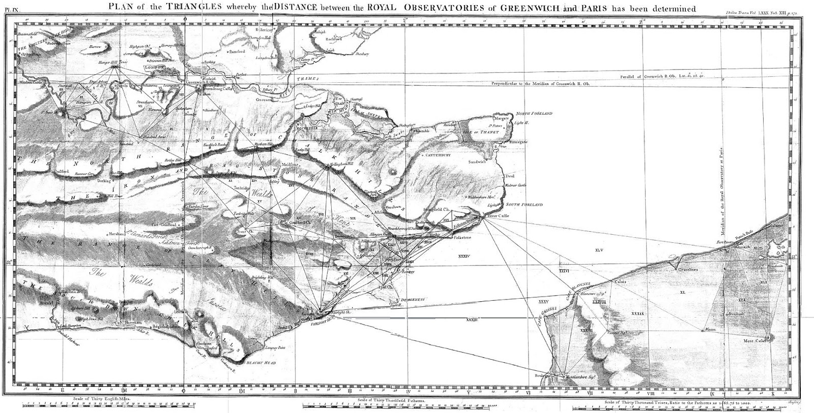
The far-reaching views from Fairlight Head were used as early triangulation points for the development of the Ordnance Survey, and the mapping of the relationship between England and France in the 1780s and 1790s. For long distances, including the cross-Channel exercise, they used lamps positioned on towers which were visible at night. See the excellent book ‘Map of a Nation – A Biography of the Ordnance Survey’ by Rachel Hewitt.
Here’s a copy of a map which shows the triangulation points. You can see the lines going across the Chanel, to Dover, and to various points on the North Downs.
How lucky we are to have such a beautiful place so close…..




Comments from Google+